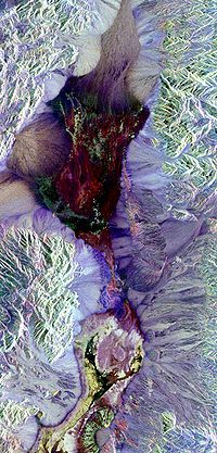
Digital soil mapping (DSM) in soil science, also referred to as predictive soil mapping or pedometric mapping, is the computer-assisted production of...
8 KB (864 words) - 02:53, 21 April 2024
soil reaction to certain use, soil functions, soil degradation measures etc. Map Soil science Soil survey Pedometric mapping Digital soil mapping Geographic...
5 KB (569 words) - 02:55, 21 April 2024
carbon recycler fiber production Digital soil mapping – computer-assisted production of digital maps of soil types and soil propertiesPages displaying wikidata...
8 KB (1,092 words) - 12:00, 17 April 2024
Pedometric mapping, or statistical soil mapping, is data-driven generation of soil property and class maps that is based on use of statistical methods...
13 KB (1,335 words) - 00:37, 3 July 2023
Soil survey, or soil mapping, is the process of classifying soil types and other soil properties in a given area and geo-encoding such information. Soil...
5 KB (677 words) - 02:25, 7 February 2024
Workshop on Digital Soil Mapping 2012, Sydney, Australia 3 http://www.scienzadelsuolo.org/_docs/Atti_Eurosoil_2012.pdf 4 Joint SSA and NZSSS Soil Science...
3 KB (459 words) - 01:08, 23 April 2022
contamination of water supplies within and underlying the soil. Mapping of contaminated soil sites and the resulting clean ups are time-consuming and expensive...
39 KB (4,767 words) - 20:20, 22 June 2024
Geographic information system (section Web mapping)
effort to determine the land capability for rural Canada by mapping information about soils, agriculture, recreation, wildlife, waterfowl, forestry and...
101 KB (13,112 words) - 06:13, 21 August 2024
(2013-11-01). "Modeling and mapping soil resistance to penetration and rutting using LiDAR-derived digital elevation data". Journal of Soil and Water Conservation...
30 KB (3,235 words) - 10:40, 4 July 2024
EMR spectrum enables it to be applicable in Digital elevation mapping, Vegetation cover mapping, Soil mapping, Archeological applications etc. Various satellite...
2 KB (226 words) - 22:06, 15 August 2024


