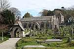
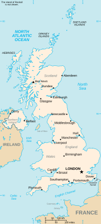
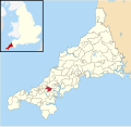
Busveal is a mining settlement in west Cornwall, United Kingdom. It is located approximately one mile east of Redruth. It is in the civil parish of St...
1 KB (54 words) - 20:00, 19 December 2020
Chileskys Burras Berres Burraton Trewerinor Burraton Coombe Komm Trewerinor Buryas Bridge Nansberres Bush Prysk Busveal Bosvayl Butteris Gate Buttsbear Cross...
45 KB (1,828 words) - 15:35, 27 July 2024
Gwennap Pit is about 1.7 miles (2.7 km) to the northwest, at the hamlet of Busveal near St Day. The pit was caused by mining subsidence in the mid-18th century...
15 KB (1,863 words) - 15:24, 4 July 2024
-5.478862 (Gun battery west of St Michael's Mount) 1327572 Gwennap Pit Busveal, St. Day Mine shaft 1762 12 September 1989 SW7171741761 50°13′54″N 5°12′08″W...
103 KB (149 words) - 18:21, 2 September 2024
Orkney Islands 59°21′N 2°25′W / 59.35°N 02.42°W / 59.35; -02.42 HY7652 Busveal Cornwall 50°13′N 5°13′W / 50.22°N 05.21°W / 50.22; -05.21 SW7141...
92 KB (26 words) - 09:31, 14 August 2024
and Lanner covered the villages of St Day, Lanner, and the hamlets of Busveal, Trevarth, Pennance. It also covered part of Scorrier which was shared...
7 KB (194 words) - 08:49, 7 December 2021
Little Beside, Crofthandy, Vogue, Tolcarne, Higher and Lower Ninnis, Busveal, Coombe, Frogpool. The hamlet of Treviskey was shared with the Lanner and...
6 KB (222 words) - 08:49, 7 December 2021


