Berens Islands – Wikipedia
| Berens Islands | ||
|---|---|---|
| Gewässer | Coronation Gulf | |
| Geographische Lage | 67° 55′ 30″ N, 114° 0′ 0″ W | |
| | ||
| Fläche | 58 km² | |
| Einwohner | unbewohnt | |
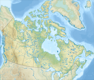
Die Berens Islands sind eine Inselgruppe im westlichen Teil des Coronation Gulf in der Kitikmeot-Region im Territorium Nunavut im Norden Kanadas.[1]
Weitere Inselgruppen in der Nähe sind die Black Berry Islands, Couper Islands, Deadman Islands, Lawford Islands, Leo Islands und Sir Graham Moore Islands.
Einzelnachweise
[Bearbeiten | Quelltext bearbeiten]- ↑ Berens Islands. travelingluck.com, abgerufen am 10. März 2009.


 French
 Deutsch