
 French
 Deutsch
Datei:PA-39.svg – Wikipedia

Größe der PNG-Vorschau dieser SVG-Datei: 600 × 600 Pixel. Weitere aus SVG automatisch erzeugte PNG-Grafiken in verschiedenen Auflösungen: 240 × 240 Pixel | 480 × 480 Pixel | 768 × 768 Pixel | 1.024 × 1.024 Pixel | 2.048 × 2.048 Pixel
Originaldatei (SVG-Datei, Basisgröße: 600 × 600 Pixel, Dateigröße: 3 KB)
![]()
Diese Datei und die Informationen unter dem roten Trennstrich werden aus dem zentralen Medienarchiv Wikimedia Commons eingebunden.
![]()
Beschreibung
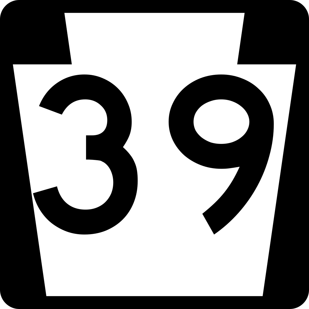
| Beschreibung | 600 mm by 600 mm (24 in by 24 in) Pennsylvania shield, made to the specifications of the Manual on Uniform Traffic Control Devices (MUTCD), 2003 Edition (sign M1-5). Uses the Roadgeek 2005 fonts. (United States law does not permit the copyrighting of typeface designs, and the fonts are meant to be copies of a U.S. Government-produced work anyway.) |
| Datum | |
| Quelle | Eigenes Werk |
| Urheber | TwinsMetsFan |
| Genehmigung (Weiternutzung dieser Datei) | Public Domain |
Lizenz
This file is in the public domain because it comes from the Pennsylvania Supplement to the Manual on Uniform Traffic Control Devices, sign number M1-5, which states in §212.2 that Pennsylvania has "adopted [the federal Manual on Uniform Traffic Control Devices] in its totality except where this chapter clearly indicates that it is not being adopted, or that additional warrants or criteria are being provided." The federal MUTCD states specifically on its page I-1 that:
No provisions of the supplement supersede this provision of the MUTCD. |
Dateiversionen
Klicke auf einen Zeitpunkt, um diese Version zu laden.
| Version vom | Vorschaubild | Maße | Benutzer | Kommentar | |
|---|---|---|---|---|---|
| aktuell | 06:39, 9. Okt. 2017 | | 600 × 600 (3 KB) | HWY Shield Bot | == {{int:filedesc}} == {{Information |Description=Pennsylvania state highway shields |Source=File:PA-00 template.svg |Date={{subst:VI-time}} |Author=Pennsylvania Department of Transportation<br />Template: {{user|Fredddie}}<br />File created & up... |
| 04:56, 21. Jul. 2007 |  | 600 × 600 (7 KB) | O (bot) | update to Series D font | |
| 20:07, 24. Jul. 2006 |  | 600 × 600 (5 KB) | TwinsMetsFan | third time's the charm | |
| 20:05, 24. Jul. 2006 |  | 600 × 600 (1 KB) | TwinsMetsFan | repaired bug in previous SVG | |
| 20:04, 24. Jul. 2006 |  | 2.160 × 2.160 (5 KB) | TwinsMetsFan | {{Information| |Description=600 mm by 600 mm (24 in by 24 in) Pennsylvania shield, made to the specifications of the Manual on Uniform Traffic Control Devices (MUTCD), 2003 Edition (sign M1-5). Uses the Roadgeek 2005 fonts. (United States law does not per |
Dateiverwendung
Die folgenden 2 Seiten verwenden diese Datei:
Globale Dateiverwendung
Die nachfolgenden anderen Wikis verwenden diese Datei:
- Verwendung auf en.wikipedia.org
- Dauphin County, Pennsylvania
- List of state routes in Pennsylvania
- U.S. Route 422
- Talk:U.S. Route 322
- Pennsylvania Route 39
- Portal:U.S. roads/Selected article
- User talk:Geoboe84
- List of highways numbered 39
- User talk:Homefryes
- User:Matqcca
- User talk:Rschen7754/Archive 6
- Pennsylvania Route 38
- User:Hmich176/PA Routes
- U.S. Route 22 in Pennsylvania
- Pennsylvania Route 543
- User:Hmich176/Templates
- User:Hmich176/WP:HyP Project Page
- Talk:U.S. Route 22 in Pennsylvania
- Harrisburg–Carlisle metropolitan statistical area
- Interstate 81 in Pennsylvania
- Capital Area Greenbelt
- User talk:Boothy443/Archive 11
- Wikipedia:WikiProject U.S. Roads/Pennsylvania/Selected article
- User talk:O/Roads/Archive 2
- U.S. Route 322 in Pennsylvania
- Wikipedia:WikiProject U.S. Roads/Pennsylvania/Newsletter
- User talk:Mr. Matté/Archive 1
- User talk:Mitchazenia/Archive9
- User talk:Patricknoddy/Archive 2
- User:Hmich176/User Page
- User talk:TwinsMetsFan/Archive 08
- User:Hmich176/Userboxes/PA Routes
- Wikipedia:WikiProject U.S. Roads/Pennsylvania/Newsletter/Issue 002
- User talk:JohnnyAlbert10/Archive 5
- User talk:Hmich176/Newsletters
- Portal:U.S. roads/Selected article/August 2007
- User talk:Dough4872/Archive 2007
- U.S. Route 40 in Pennsylvania
- User talk:Fran Rogers/Archive 3
- List of State Routes in Dauphin County, Pennsylvania
- Wikipedia:WikiProject U.S. Roads/Pennsylvania/Selected article/June 2014
- User:Hmich176/Pennsylvania State Route System/List of State Routes in Pennsylvania
- User:Hmich176/Pennsylvania State Route System/List of State Routes in Dauphin County, Pennsylvania
- User:TheWhistleGag/sandbox
- Verwendung auf es.wikipedia.org
- Verwendung auf fr.wikipedia.org
- Verwendung auf ja.wikipedia.org
- Verwendung auf vi.wikipedia.org
- Verwendung auf www.wikidata.org
Weitere globale Verwendungen dieser Datei anschauen.