
 French
 Deutsch
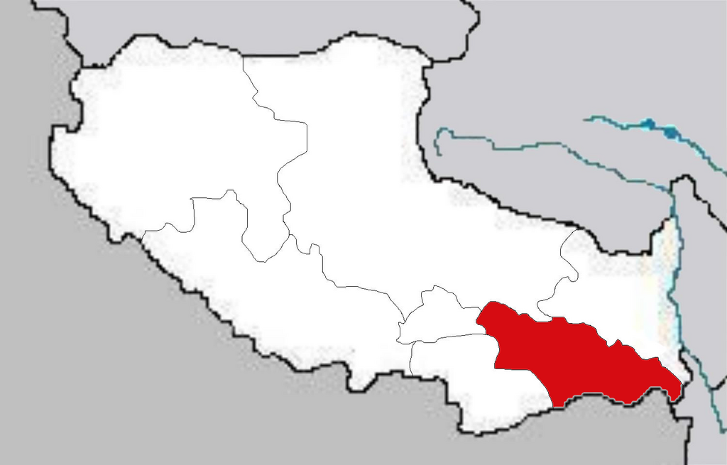
File:Map of Nyingchi.png

Size of this preview: 800 × 512 pixels. Other resolutions: 320 × 205 pixels | 640 × 410 pixels | 1,024 × 655 pixels | 1,500 × 960 pixels.
Original file (1,500 × 960 pixels, file size: 311 KB, MIME type: image/png)
| This is a file from the Wikimedia Commons. Information from its description page there is shown below. Commons is a freely licensed media file repository. You can help. |
| Description | Maps of Tibet Autonomous Region of China Deutsch: Lage des Regierungsbezirks Nyingchi im Autonomen Gebiet Tibet |
| Date | |
| Source | Own work |
| Author | Photo taken by Fanghong |
 | Permission is granted to copy, distribute and/or modify this document under the terms of the GNU Free Documentation License, Version 1.2 or any later version published by the Free Software Foundation; with no Invariant Sections, no Front-Cover Texts, and no Back-Cover Texts. A copy of the license is included in the section entitled GNU Free Documentation License. |
| This file is licensed under the Creative Commons Attribution-Share Alike 3.0 Unported license. | ||
| ||
| This licensing tag was added to this file as part of the GFDL licensing update. |
This file is licensed under the Creative Commons Attribution-Share Alike 1.0 Generic license.
- You are free:
- to share – to copy, distribute and transmit the work
- to remix – to adapt the work
- Under the following conditions:
- attribution – You must give appropriate credit, provide a link to the license, and indicate if changes were made. You may do so in any reasonable manner, but not in any way that suggests the licensor endorses you or your use.
- share alike – If you alter, transform, or build upon this work, you must distribute the resulting work under the same license as the original.
File history
Click on a date/time to view the file as it appeared at that time.
| Date/Time | Thumbnail | Dimensions | User | Comment | |
|---|---|---|---|---|---|
| current | 08:49, 14 October 2005 | | 1,500 × 960 (311 KB) | Fanghong | {{information| |Description = Maps of Tibet Autonomous Region of China |Source = |Date = On October 10 2005 |Author = Photo taken by Fanghong |Permission = |other_versions = }} {{GFDL}} {{cc-by-sa}} |
File usage
The following pages on the English Wikipedia use this file (pages on other projects are not listed):
- Baga, Mainling County
- Bamda
- Beibeng Township
- Bêba
- Dêqên, Lhasa
- Gartog
- Gedang Township
- Golag
- Gongbo'gyamda County
- Nang County
- Nyang River
- Pagsum Lake
- Puqu Township
- Tramog
- Zhongsa Village
- Zhongsa Village (Danniang Township)
- Zhongsa Village (Lilong Township)
- Talk:Nyingchi
- Template:Nyingchi-geo-stub
- Category:Nyingchi
Global file usage
The following other wikis use this file:
- Usage on de.wikipedia.org
- Usage on frr.wikipedia.org
- Usage on gv.wikipedia.org
- Usage on hy.wikipedia.org
- Usage on pl.wikipedia.org
- Usage on www.wikidata.org
- Usage on zh-yue.wikipedia.org
- Usage on zh.wikipedia.org