National Highway 64 (India)
This article needs additional citations for verification. (June 2016) |
| National Highway 64 | ||||
|---|---|---|---|---|
 | ||||
| Route information | ||||
| Length | 528 km (328 mi) | |||
| Major junctions | ||||
| North end | Maliya, Morbi District, | |||
| South end | Hazira. | |||
| Location | ||||
| Country | India | |||
| States | Gujarat | |||
| Primary destinations | Dhrangadhra - Viramgam - Ahmedabad - Kheda - Anand - Vadodara - Baroda - Jambusar - Bharuch - Ankleshwar - Surat - Navsari - Dandi - Hazira | |||
| Highway system | ||||
| ||||
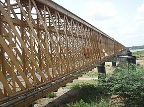
National Highway 64 (NH 64) is a National Highway in India connecting Maliya in Morbi District and Hazira Port in the Indian state of Gujarat traveling 528 kilometres (328 mi) long distance.[1]

. The highway starts from intersection with National Highway 27National Highway
References
[edit]- ^ "Rationalisation of Numbering Systems of National Highways" (PDF). New Delhi: Department of Road Transport and Highways. Archived from the original (PDF) on 4 December 2018. Retrieved 3 April 2012.


 French
 Deutsch


