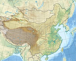
Red Flag Lake (Zhenning County)
This article includes a list of references, related reading, or external links, but its sources remain unclear because it lacks inline citations. (March 2024) |
| Red Flag Lake | |
|---|---|
| Red Flag Reservoir | |
| 红旗湖 (Chinese) | |
| Location | Zhenning Buyei and Miao Autonomous County, Guizhou, China |
| Coordinates | 26°04′49″N 105°46′35″E / 26.080191°N 105.776436°E |
| Type | Artificial lake |
| Primary outflows | Zhenning River |
| Basin countries | China |
| Surface area | 5 square kilometres (1,200 acres) |
| Max. depth | 10.8 m (35 ft) |
| Water volume | 832,600 m3 (0.0001998 cu mi) |
Red Flag Lake (simplified Chinese: 红旗湖; traditional Chinese: 紅旗湖; pinyin: Hóngqí Hú), also known as Red Flag Reservoir (红旗水库; 紅旗水庫; Hóngqí Shuǐkù), is an artificial lake in Zhenning Buyei and Miao Autonomous County, Guizhou, China. It covers a total surface area of 5 km2 (1.9 sq mi) and has a storage capacity of some 832,600 m3 (0.0001998 cu mi) of water. The lake discharges into the Zhenning River.
Function
[edit]The lake provides drinking water and water for irrigation.
Dam
[edit]The dam is 10.8 m (35 ft) high and made of stones.
Picture
[edit]References
[edit]- 镇宁布依族苗族自治县概况 [General Situation of Zhenning Buyei and Miao Autonomous County] (in Chinese). Beijing: Nationalities Publishing House. 2008. ISBN 9787105085859.


 French
 Deutsch
