Popovača — Wikipédia
| Popovača | ||||
 Héraldique | ||||
 | ||||
| Administration | ||||
|---|---|---|---|---|
| Pays | ||||
| Comitat | Sisak-Moslavina | |||
| Maire Mandat | Josip Mišković 2005-2009 | |||
| Code postal | 44317 | |||
| Indicatif téléphonique international | +(385) | |||
| Indicatif téléphonique local | 044 | |||
| Démographie | ||||
| Population | 4 312 hab. (2001) | |||
| Densité | 20 hab./km2 | |||
| Population municipalité | 12 701 hab. (2001) | |||
| Densité | 58 hab./km2 | |||
| Géographie | ||||
| Coordonnées | 45° 34′ 11″ nord, 16° 37′ 30″ est | |||
| Altitude | 125 m | |||
| Superficie | 21 480 ha = 214,8 km2 | |||
| Superficie municipalité | 21 940 ha = 219,4 km2 | |||
| Localisation | ||||
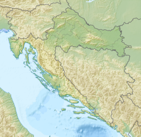
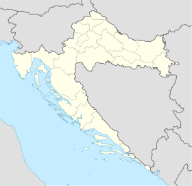
| Géolocalisation sur la carte : Croatie Géolocalisation sur la carte : Croatie Géolocalisation sur la carte : comitat de Sisak-Moslavina | ||||
| Liens | ||||
| Site web | www.popovaca.hr | |||
| modifier | ||||
Popovača est un village et une municipalité située dans le comitat de Sisak-Moslavina, en Croatie. Au recensement de 2001, la municipalité comptait 12 701 habitants, dont 95,19 % de Croates[1] et le village seul comptait 4 312 habitants[2].
Histoire
[modifier | modifier le code]Localités
[modifier | modifier le code]La municipalité de Popovača compte 13 localités :
- Ciglenica
- Donja Gračenica
- Donja Jelenska
- Donja Vlahinička
- Gornja Gračenica
- Gornja Jelenska
- Moslavačka Slatina
- Osekovo
- Podbrđe
- Popovača
- Potok
- Stružec
- Voloder
Notes et références
[modifier | modifier le code]- (en) Recensement de 2001 : « Population by ethnicity, by towns/municipalities, census 2001 », sur dzs.hr, Crostat - Bureau central de statistiques (consulté le )
- (en) « Population by sex and age by settlements, census 2001 », sur dzs.hr, Crostat - Bureau central de statistiques (consulté le )


 French
 Deutsch

