File:Aberdeenshire UK location map.svg - 维基百科,自由的百科全书

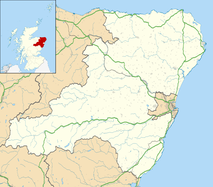
此SVG文件的PNG预览的大小:682 × 600像素。 其他分辨率:273 × 240像素 | 546 × 480像素 | 873 × 768像素 | 1,165 × 1,024像素 | 2,329 × 2,048像素 | 1,425 × 1,253像素。
原始文件 (SVG文件,尺寸为1,425 × 1,253像素,文件大小:1.84 MB)
文件历史
点击某个日期/时间查看对应时刻的文件。
| 日期/时间 | 缩略图 | 大小 | 用户 | 备注 | |
|---|---|---|---|---|---|
| 当前 | 2010年9月26日 (日) 19:59 |  | 1,425 × 1,253(1.84 MB) | Nilfanion | {{Information |Description=Blank map of Aberdeenshire, UK with the following information shown: *Administrative borders *Coastline, lakes and rivers *Roads and railways *Urban areas Equirectangular map projection on WGS 84 datum, with |
文件用途
以下4个页面使用本文件:
全域文件用途
以下其他wiki使用此文件:
- ar.wikipedia.org上的用途
- az.wikipedia.org上的用途
- ba.wikipedia.org上的用途
- bg.wikipedia.org上的用途
- ceb.wikipedia.org上的用途
- de.wikipedia.org上的用途
- en.wikipedia.org上的用途
- Aberdeenshire
- Balmoral Castle
- List of monastic houses in Scotland
- Stonehaven
- Fraserburgh
- Battle of Lumphanan
- Huntly
- Portsoy
- Inverurie
- Banchory
- Ballater
- Bellabeg
- Dunnottar Castle
- Braemar Castle
- Drum Castle
- Crathes Castle
- Kildrummy Castle
- Huntly Castle
- New Slains Castle
- Westhill, Aberdeenshire
- Rosehearty
- Braemar
- Fettercairn
- Tarland
- Ellon, Aberdeenshire
- Aboyne
- Aberchirder
- Newburgh, Aberdeenshire
- Cruden Bay
- Turriff
- Fyvie
- Alford, Aberdeenshire
- Kintore, Aberdeenshire
- Kemnay, Aberdeenshire
查看此文件的更多全域用途。


 French
 Deutsch